Akilaris
Mission
Control
53.0793 N
8.8017 E
Assess risk systematically.
Data-driven models support conjunction assessment while surfacing data quality, assumptions and remaining uncertainty.
The Intelligence Layer
for Space & Defence
Sensor fusion, AI-enabled analysis and traceable decision support in one operational context.
Akilaris develops technology for satellite operations, orbital awareness and selected airspace-protection scenarios. Data provenance, assumptions and approvals remain visible, while authorised people retain decision authority.
Space is GettingDangerously Crowded
As constellations grow, teams have more conjunction data and potential events to assess. Automation can support triage and analysis, but its outputs must remain traceable and reviewable. People retain operational authority over consequential decisions.
AI-EnabledRisk Analysis
Decision support for European and international satellite operations
Seamless Integration
API-oriented interfaces are intended for integration into existing mission and safety processes. The exact scope is agreed and validated for each project.
AI-Driven Analysis
Machine-learning and data-driven methods for analysing TLE data and CDMs, with uncertainty, provenance and reviewable intermediate results.
Zero Debris Alignment
Designed with recognised European objectives and relevant debris-mitigation standards in mind. Applicable requirements are assessed per project.
Continuous Learning
Validated operator feedback can inform evaluations and improvements. Changes are reviewed and versioned before entering operational workflows.
From space signal tooperational clarity
Akilaris converges heterogeneous space data into a trusted and traceable basis for operational decisions.
SPACE DATA SOURCES
- Space-based imageryOptical · SAR · multispectral
- Orbital cataloguesTLE · CDM · ephemerides
- Ground-based radarRange · range-rate
- Optical trackingAngles · photometry
- Mission telemetryTT&C · state vectors
- Space weatherSolar · geomagnetic
AKILARIS INTELLIGENCE LAYER
INTELLIGENCE CONVERGENCE
NORMALISE › CORRELATE › VALIDATE › ENRICH › DELIVERSENSOR FUSION · RISK MODELS · HUMAN-IN-COMMANDOPERATIONAL OUTPUTS
- Actionable intelligenceTimely · relevant · trusted
- Risk assessmentConjunction · anomaly · impact
- Mission planningOptions · constraints · timing
- Situational awarenessCurrent · persistent · resilient
- Execution AgentsMonitor · recommend · coordinate
- Integration & APISystems · workflows · automation
See Akilaris in Action
A visual look at our development direction and possible workflows
Technology Building Blocks
Development areas for traceable decision support
Timely Data Preparation
Preparation of timely satellite and conjunction data for structured operational assessment.
Multiple Data Sources
Combining suitable public and project-specific data sources for an agreed mission scope.
AI Analytics
Data-driven models support forecasts while making uncertainty visible.
Secure Infrastructure
Encryption, access controls and traceable security processes are designed according to project risk.
Data Processing
Modular data pipelines for catalogue, ephemeris and conjunction data; scope and performance are validated per project.
Risk Context
Decision support for orbital patterns and collision risk with transparent assumptions.
Traceable processes
Documentation, roles, approvals and audit trails can be adapted to project-specific requirements.
Inside the Platform
Four connected workspaces for orbital awareness, earth observation, decisions and governance
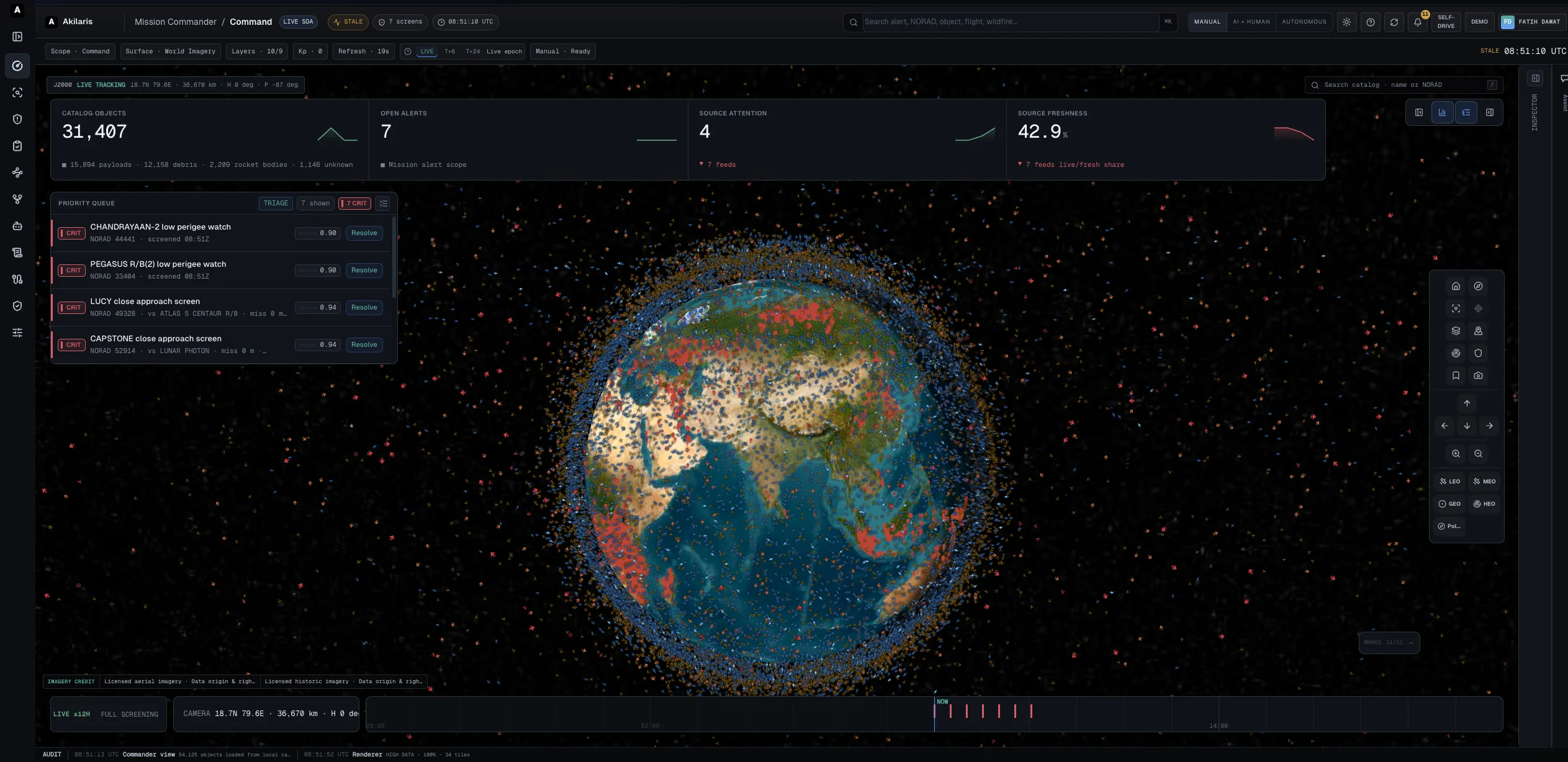
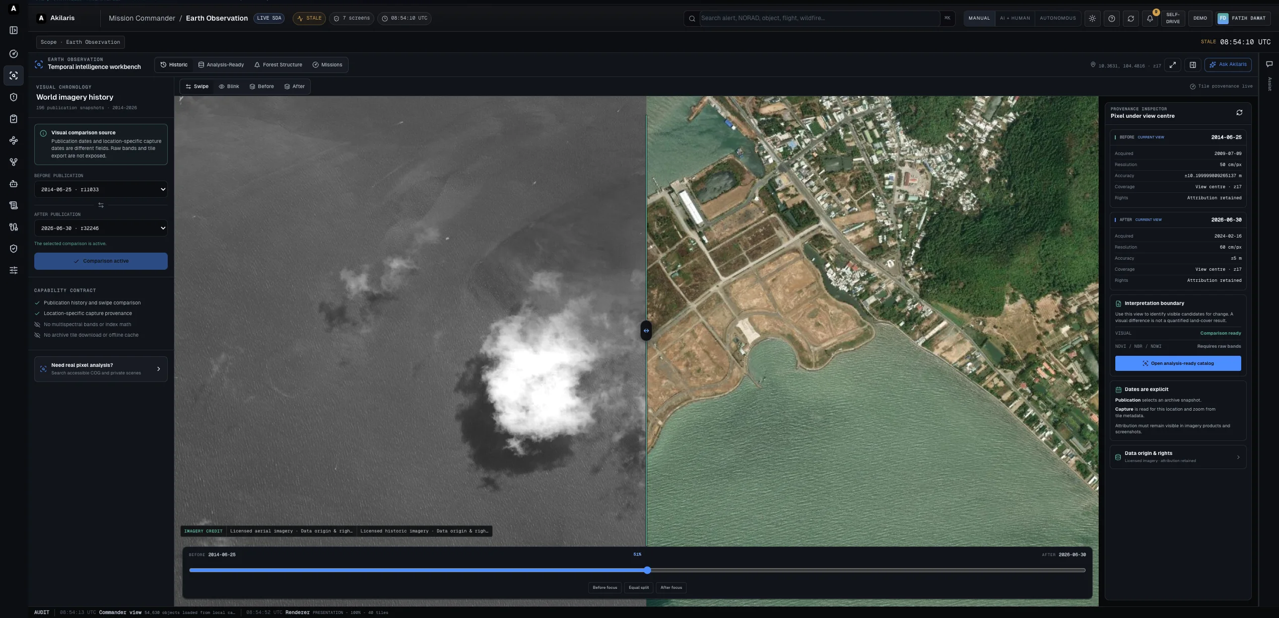
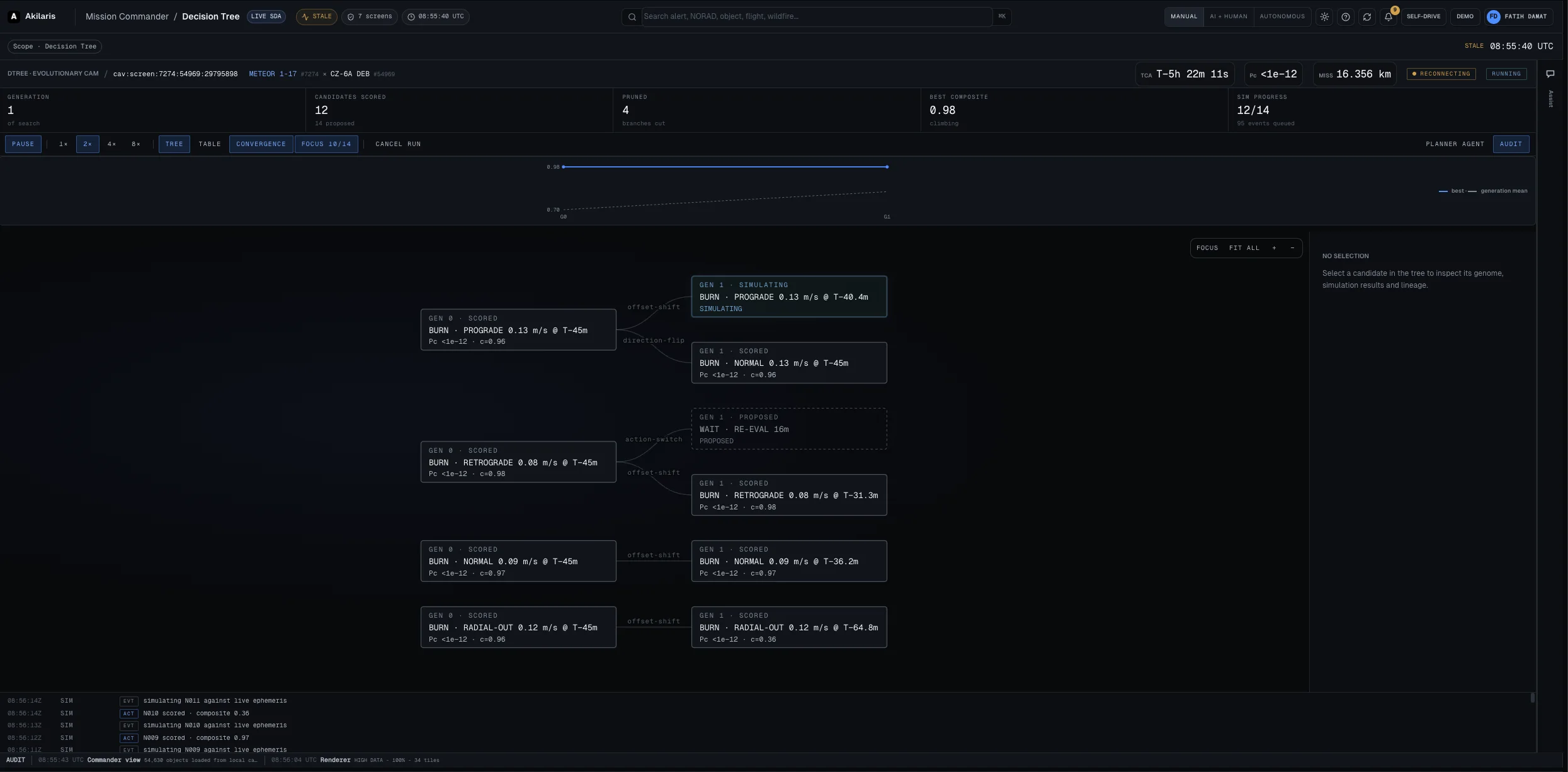
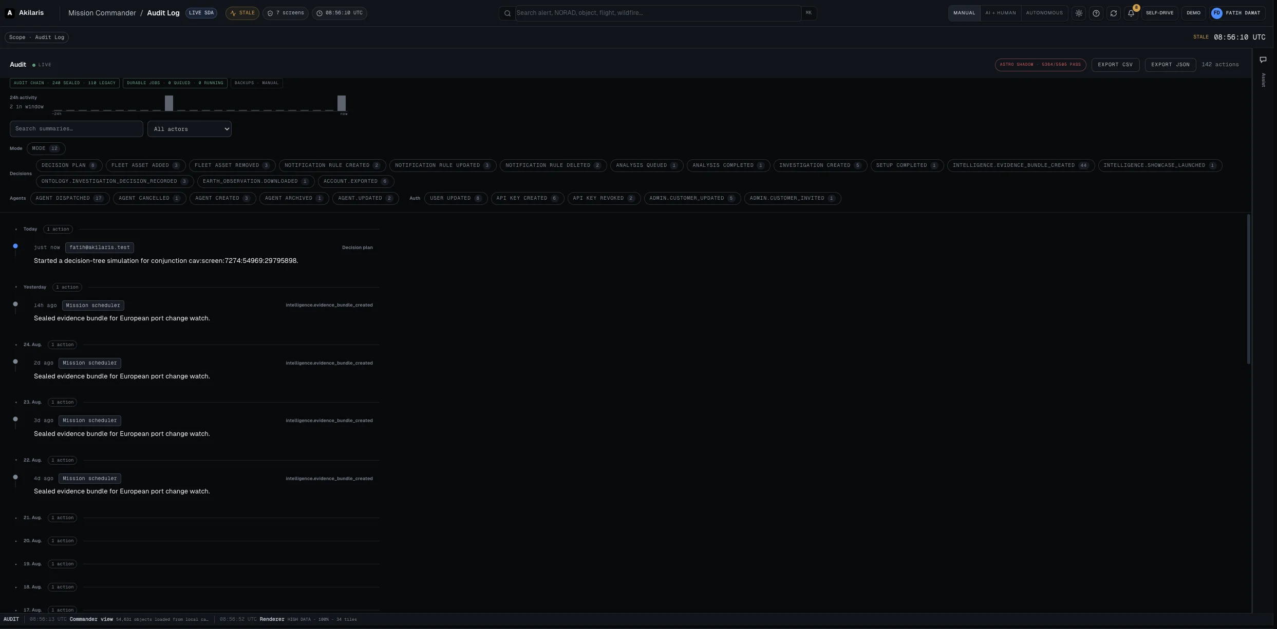
Two mission domains. One intelligence layer.
Akilaris turns heterogeneous signals into traceable operational context — across space operations and selected airspace-protection scenarios.
From the Media Library
Brand films, interviews and event highlights, follow the mission as it happens


Build the Intelligence Layer
for Space & Defence
Full-time roles, working student positions, internships and thesis projects in Bremen, Europe's City of Space.
Ecosystem and support
Programmes and networks in whose environment Akilaris works or has received support



Would you like to discuss a concrete use case?
Talk to us about requirements, available data, validation and a realistic project scope
Explore the Universe
Explore an interactive visualisation and see how simulation can help communicate complex space data.